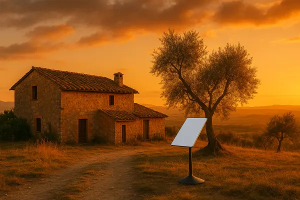
Rustic Retreat
Hot Projects
Live broadcasts and documentation from a remote tech outpost in rustic Portugal. Sharing off-grid life, the necessary research & development and the pursuit of life, without centralized infrastructure.
 Subscribe to our new main project Rustic Retreat on the projects own website.
DSpace aims to enable people to find, collect, edit, structure and share any kind of information in a real-time, massive-collaboration, augmented-reality-environment (like wikipedia), based on a very common ground: The map of the area, where people actually are, around their Geolocation.
You can create, alter and select from an infinite amount of thematic DSpace-Overlay's on this basemap, to create your own personal view of your local and social neighborhood.
The internet has enabled us to share information in ways that were never before available to mankind. On the web, we created websites for specific topics, to have a place where we could share what we know about the world around us. But you need to know where to look for and surf through different sites to get all relevant information.
With the help of 1000s of contributors, we as the people, have managed to have a free data source for map-data (OSM). Combined with free topology-data we now have the capability to create meaningful and accurate basemaps of the whole world ourselves, without further dependency on external map-servers and map-data, provided by commercial services.
Instead of putting up competing websites, which each only hold a part of the information other people have collected (users), it seems much more efficient to store and manage information with relevance to locality (and there are many, when you really start to think about it) in a different manner:
Check the development demo (may be unstable or broken):
http://dspace-develop.open-resource.org/
Check out the Introduction Slides:
https://apollo.open-resource.org/downloads/dspace-introduction.pdf
In technical terms, DSpace is a toolkit which provides its own free (open-source and free to access) map-tile servers for basemaps, a distributed/federated network to store, organize and access data related to what people are interested in or may find useful to easily mark on a map to remember or share with others. We put a strong focus on decentralization and try to employ concepts as server-less syncing, offline caching, browser local storage (etc) from the beginning.
This data is organized and structured in Overlays, which can be
A DSpace-Overlay can also offer additional code/styles to enhance the usability/features of the client:
It will help to reduce a lot of overhead, useless information redundancy and will make the accessibiliy of information, based on geolocation, much more comprehensible and lightning-fast for everyone who uses it. Most people start out simply wanting to have access to information, but when people receive stuff for free they sooner or later also come to the point when they realize, that they have something to add as well.
Consumers turn into contributors and with free data, every change in reality has only to be documented by one single person. That change of information is instantly available to everyone else, who also has added the same Overlay (1:N).
Closed-Loop effects should be encouraged, for example, create an OSM-Feedback DSpace-Overlay:
You realize, that something on the basemap isn't reflected by reality, so you open the OSM-Feedback Overlay and the client get's new features, which enable you to add/change or delete elements of the basemap.
This change will not occur in real time, because the data is not changed locally but submitted back upstream to the people dedicated to mapping the world: OpenStreetMap. After they alter their data, we receive the changes back downstream, when a new map for the basemap is rendered. This way we can change data AND our changes are available to EVERYONE else, who is using OSM data.
A client gets tiles from a tileserver and one or more overlays from one or more overlay servers.
Tiles are bitmaps of pieces of a map (e.g. pre-rendered OSM, satellite images) served in a geographically structured way. These tiles can be available in different tilesets, each with its own use-case specific boundary box, zoomlevel and carto-style.
Overlays contain points that are located on specific geolocations and may have a name and contain additional metadata. An overlay -identified by an url- provides a (possibly push-updated) set of points (k-v pairs with key=geo and v=data), optionally based on parameters given by the client. The format of the expected paramaters is given by the overlay and appropriatly displayed as an input by the client.
Send an email to dspace-develop-subscribe@apollo.open-resource.org to subscribe.
We're developing everything in separate feature-branches and then merge to develop branch in order to keep develop more stable. You can fork the project on github and send us pull-requests, when you have fixed something or made improvements :)
$ git clone git@github.com:apollo-ng/dspace-client.git
$ git clone git@github.com:apollo-ng/dspace-server.git
$ git clone git://github.com/apollo-ng/dspace-client.git
For safety and to keep the spirit of services by ourselves, for ourselves alive, we also keep a backup repo in sync with github, so each commit to develop or master will be mirrored in Apollo-NG's own repos and also autmatically deployed to the demo sites:
$ git clone git://apollo.open-resource.org/dspace-client
Please use the github issue tracker in order to find out what can be improved and also to report any bugs/feature-requests you find or want to see implemented: